Every Operation. Every Project. Every Structure. Has A Story.
Why Prysm exists
Complexity In. Clarity Out.
Organizations rarely lack information. The challenge is turning fragmented data, processes, observations, and context into something useful.
Prysm combines operational experience, technical expertise, and modern data-acquisition tools to understand what exists, identify what is missing, and turn information into decisions.
See how Prysm works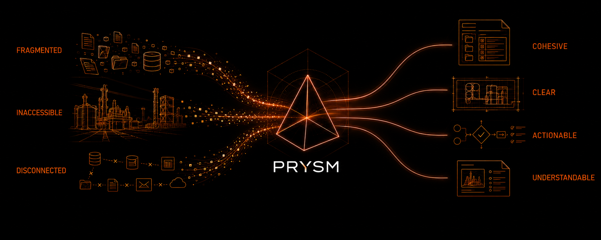
Prysm capabilities
One purpose. Three complementary capabilities.
Each capability begins with the problem and required outcome. Expertise and data acquisition work together when the engagement calls for both.
Explore all capabilities-
Operational & Management Systems
Prysm turns operational requirements, processes, and records into practical systems people can actually use. We support environmental, training and competency, operational, and ISO-aligned management systems through review, documentation, and improvement.
-
Project & Technical Support
Prysm brings structure to complex work through business analysis, project support, process improvement, and technical documentation—organizing requirements, workflows, and information to support better decisions and project delivery.
-
Visual & Spatial Intelligence
Capture what conventional records miss through remote imaging, site visualization, progress documentation, photogrammetry, and spatial documentation—creating clear visual records for inspection, planning, and operational decisions.
Field + spatial context
See what the existing record can’t tell you.
One unified method
Start with the problem. Build toward clarity.
Every engagement begins with what needs to become clear. Prysm determines the expertise, information, acquisition method, and deliverable around that requirement—and where ongoing support can keep it useful.
Explore the approachAn operational issue, project, condition, or decision.
- 01
Understand
Define the context, constraints, and decision to support.
- 02
Gather
Use what exists and acquire only the information that is missing.
- 03
Structure
Turn fragmented material into a coherent, usable form.
- 04
Deliver + Sustain
Provide an outcome people can use, then support it through monitoring, review, or updates where useful.
A system, process, record, dataset, decision-ready output, or an ongoing program that keeps it current.
Bring us the problem
What needs to become clear?
Start with the operational issue, project, place, or decision in front of you. Share the useful starting details and Prysm will review the fit and next step.
Contact Prysm