Capabilities
One discipline. Multiple views.
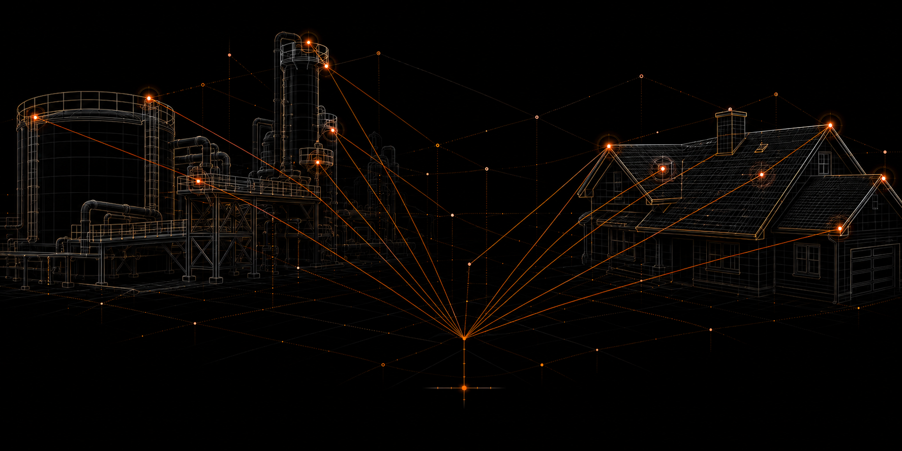
Visual and spatial information shaped around the operating need.
01 ASSETAsset inspection support
See difficult-access areas without beginning there.
+
Asset inspection support
Useful for
- Buildings + structures
- Equipment + infrastructure
- Exterior systems
Typical output
Organized imagery with location and subject context.
02 PROJECTProgress monitoring
Create a repeatable record of visible change.
+
Progress monitoring
Useful for
- Construction progress
- Milestones + updates
- Recurring site review
Typical output
Repeat viewpoints and time-based comparison records.
03 BUILDINGCommercial roof support
Build broad roof context from a safer vantage point.
+
Commercial roof support
Useful for
- Roof areas + edges
- Drainage + penetrations
- Maintenance planning
Typical output
Referenced roof imagery and visible-condition context.
04 SITEOrthomosaic mapping
Turn many images into one navigable site view.
+
Orthomosaic mapping
Useful for
- Properties + work sites
- Access + laydown areas
- Broad site context
Typical output
A high-resolution, map-aligned visual reference.
05 SPATIAL3D modelling + reality capture
Preserve physical context in a digital environment.
+
3D modelling + reality capture
Useful for
- Structures + sites
- Progress states
- Spatial communication
Typical output
3D models and reality-capture datasets.
06 CUSTOMProject-specific records
Shape collection around a defined information need.
+
Project-specific records
Useful for
- Baseline records
- Before + after work
- Defined areas of interest
Typical output
Client-specific imagery, reports, maps, or models.
For homeowners